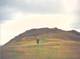
Near the summit of Caer Caradoc
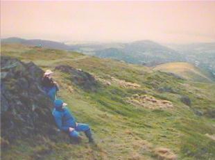
Time for a break
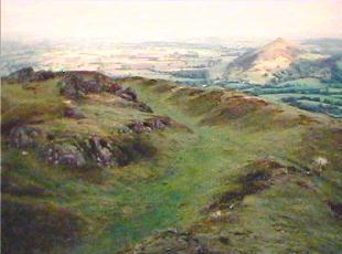
Remains of ancient Iron Age fort on top
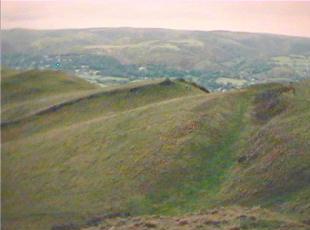
More evidence of ancient fort building
Although not very high, Caer Caradoc is a dominating elevation
in its area which is just to the east of the Long Mynd. As with
many elevated points in England and Wales it is the locale for
a hill-fort, probably from around the time of the Romans.
The most obvious evidence of such structures are the remains
of extensive, defensively oriented earthworks (ditches and embankments).
Trailheads for Caer Caradoc can easily be reached by train
from Brum to Church Stretton (with a change in Shrewsbury--if
you have time between trains take a walk around Shrewsbury--in
addition to the castle next to the rail station there are some
very narrow streets with half-timbered houses near the center
ot town). Note: for a distant view
of Caer Caradoc see bottom-left photo on Long
Mynd page.
|
Near the summit of Caer Caradoc |
Time for a break |
|
Remains of ancient Iron Age fort on top |
More evidence of ancient fort building |